3E - Political Setting
Click on map to see larger image
Rationale:
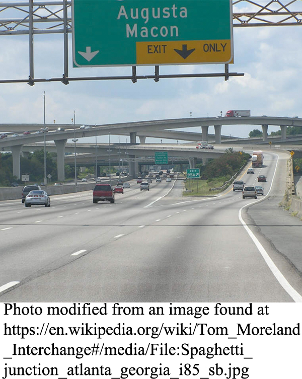
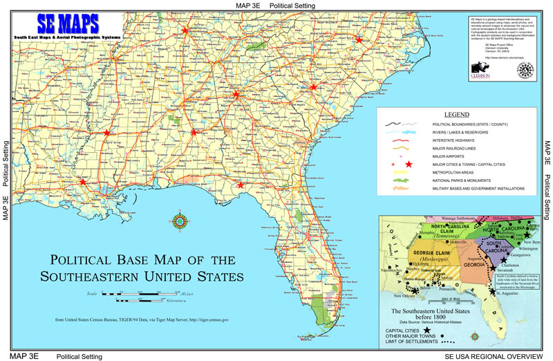
Political boundaries divide a geographic region into manageable legal entities, such as states, cities, counties, or parishes which share a common historical or economic framework, or contain other natural or social characteristics that tend to unify the people living there. Boundary lines often follow recognizable geographic features such as rivers or drainage divides. They can also be laid out arbitrarily along lines of latitude or longitude, or as straight lines connecting designated landmarks. Efficient movement of people and trade goods within and between political jurisdictions is a necessary requirement for sustained economic growth. Transportation routes tend to focus on areas of commercial or industrial activity and avoid natural obstacles such as mountains or swampland whenever possible. Historical patterns of settlement and expansion were highly dependent upon such transportation corridors. The switch from water travel routes to land-based roads and railroads opened up vast new territories of land for settlement and economic development.
Themes
|
Content Outline
|
Activity TitlesAll activities include
|

|


